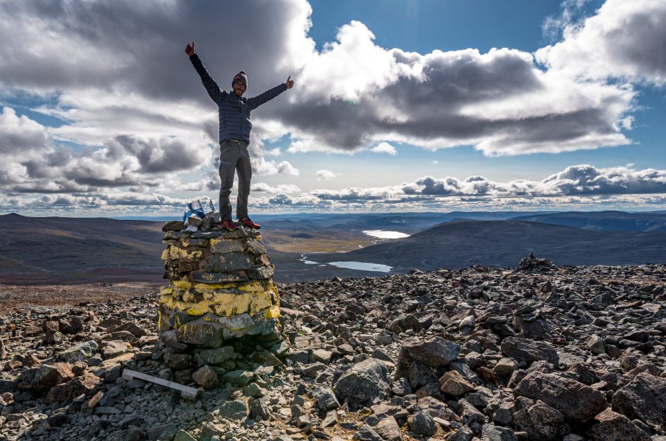
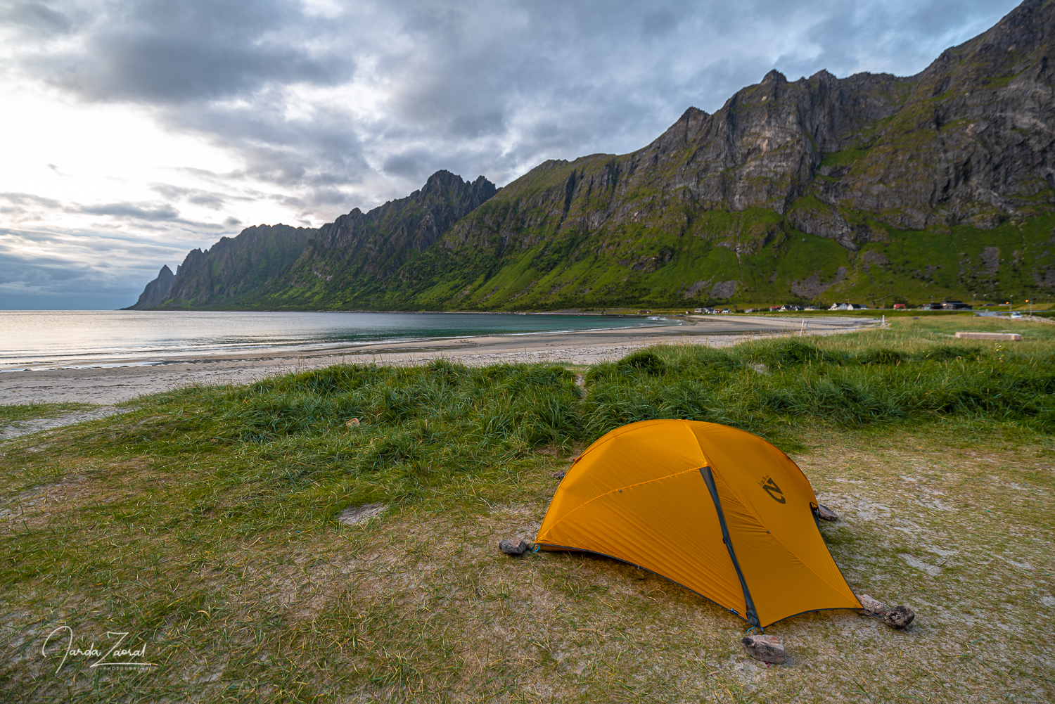
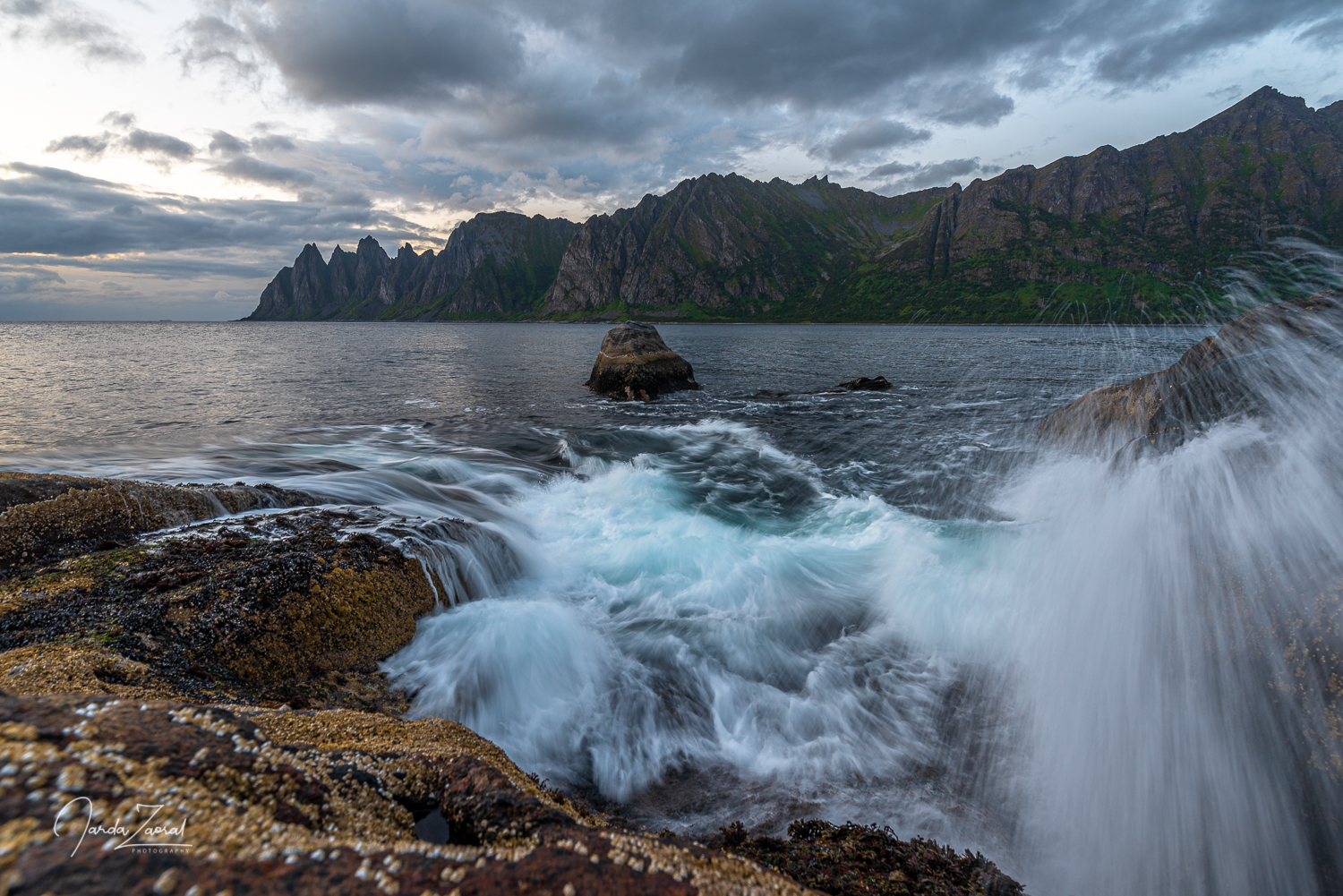
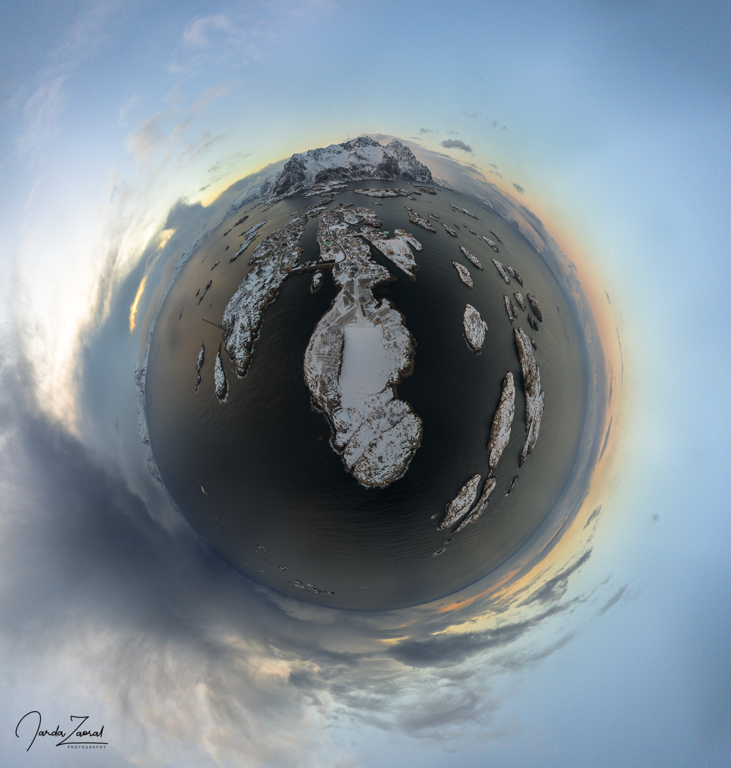
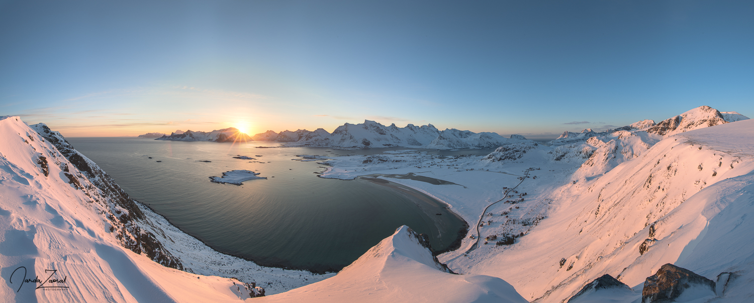
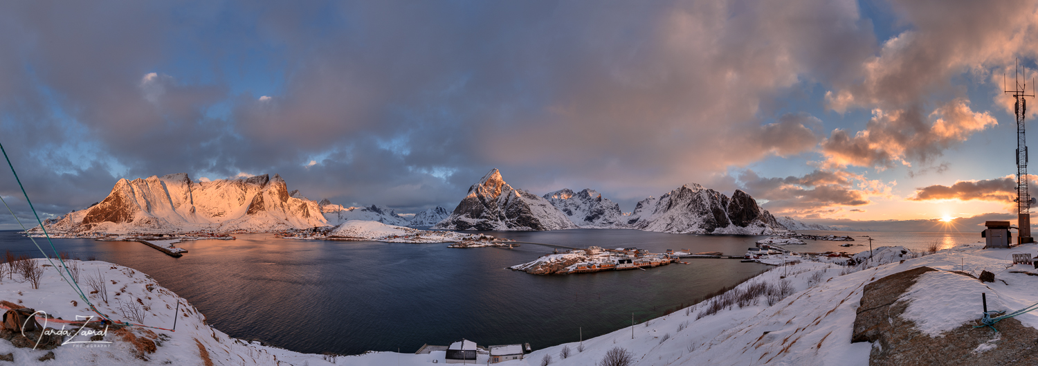
I have visited over 60 countries around the world and I love many places in each corner of our planet. I can imagine visiting some places again but it often doesn’t happen because my desire to see new places is stronger. There is just one spot which I visit regularly because it stole my heart. It’s called Lofoten islands and it’s the most special place I have visited so far. The sharp cliffs rising from the sea together with the exceptional climate are simply wonderful. It’s a perfect spot for anyone who loves hiking, nature and viewpoints. If you haven’t visited Lofoten yet, my article might convince you to do so soon! Here are my tips for the best hiking trips + some extra special tips for resting days in this Norwegian paradise.
When is the best time to visit Lofoten?
Before I name all the wonderful places across Lofoten islands, let’s start with this important question. The climate of Lofoten is very special and conditions vary a lot across the seasons. It’s also important to consider when Lofoten islands are busy and when you can enjoy the islands with less tourists. I recommend the follwing:
- Try to avoid July and August. These are the most busy months on Lofoten islands due to summer holidays and you might spend a lot of time in crowds or traffic jams.
- For summer conditions, choose the first half of June if you want to experience the midnight sun or September which gives you opportunity to still experience warm and pleasant weather and see northern lights at the same time.
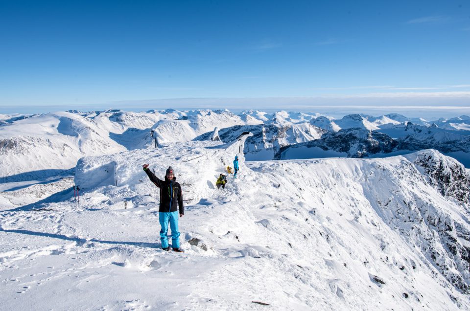
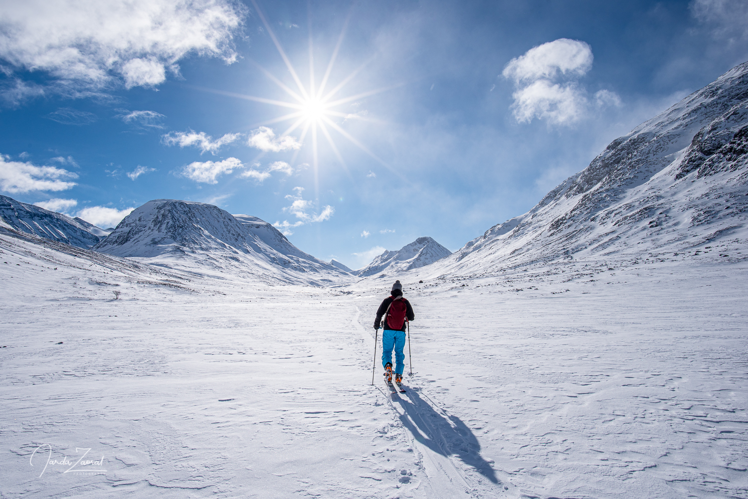
- If you would like to see Lofoten under snow, visit the islands from mid February to mid April. These are the best winter months since the days are already longer. Bear in mind that if you would like to visit any of the mountains below you have to be properly equipped. Snowshoes/skis are recommended and avalanche knowledge and equipment are required for some mountains which you access via steep terrain.
In case you can only visit Lofoten during the high season, I recommend you to make the most popular hikes (Reinebringen, Kvalvika + Ryten) during times when other people sleep to enjoy them without crowds. This means setting your alarm for early mornings.
Since the Lofoten islands are more and more spectacular the further the south you come, I will write about the hikes in the order from south to north. If you have limited time for a Lofoten visit, this is also my recommendation: spend most of your time in the south.
Before every hike, check properly the local weather forecast. Weather conditions at Lofoten can change dramatically and very quickly. Be careful on your hikes!
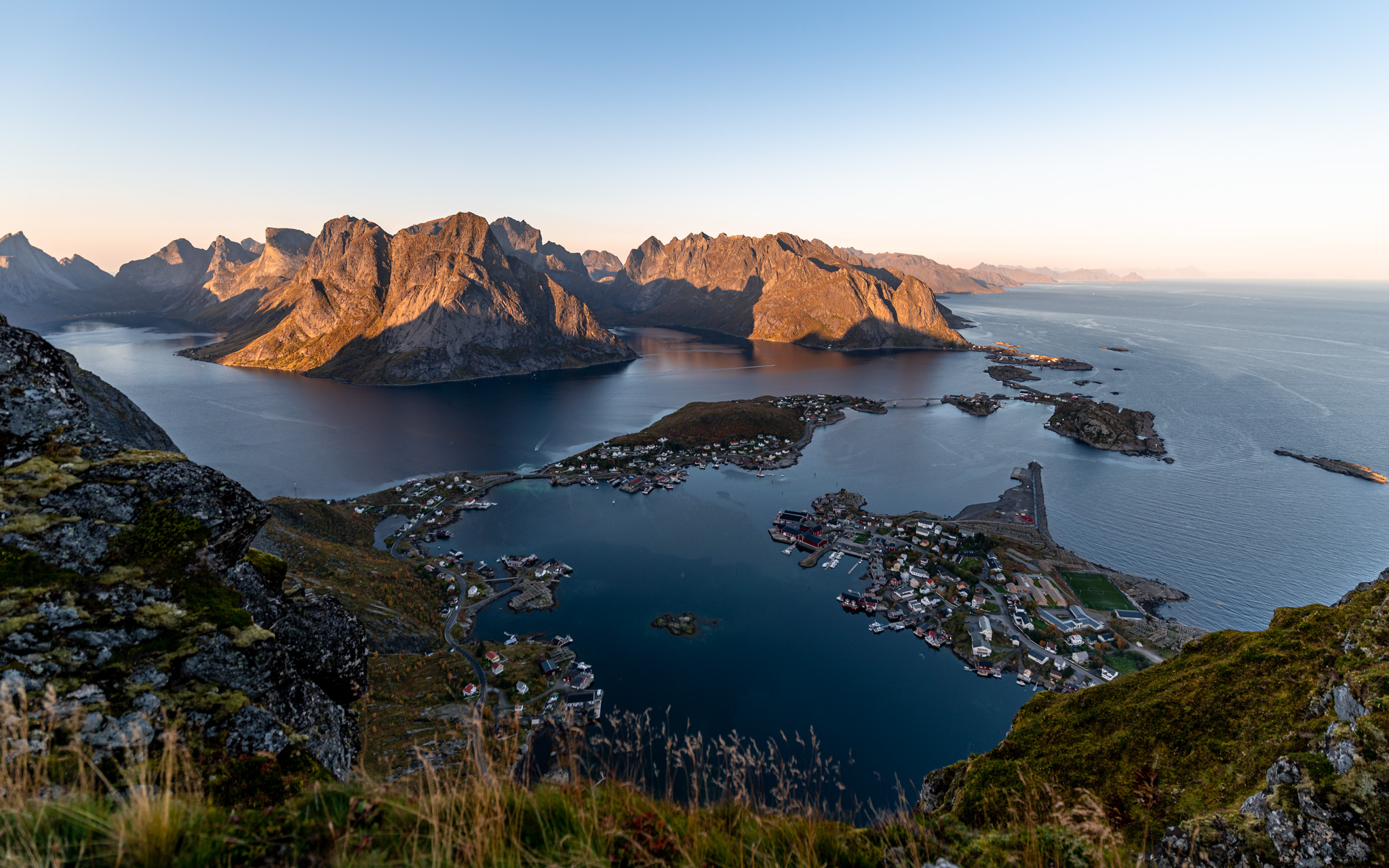
Reinebringen – the most popular viewpoint
Difficulty: Moderate
Short description of the ascent: The hike is relatively short but very steep. It can be tricky and slippery in snowy or icy conditions or after strong rains.
Parking: Free - Djupfjord or paid in Reine village
Camping allowed: No
Best accommodation nearby: Wonderful rorbuer at Reine/Sakrisøy
Starting point: parking lot Djupfjord
Height of the peak: 448m
Distance to the top: 2.2 km (one way)
Time to ascend from Djupfjord to Reinebringen viewpoint: 50 minutes (one way)
Elevation climbed: 442m
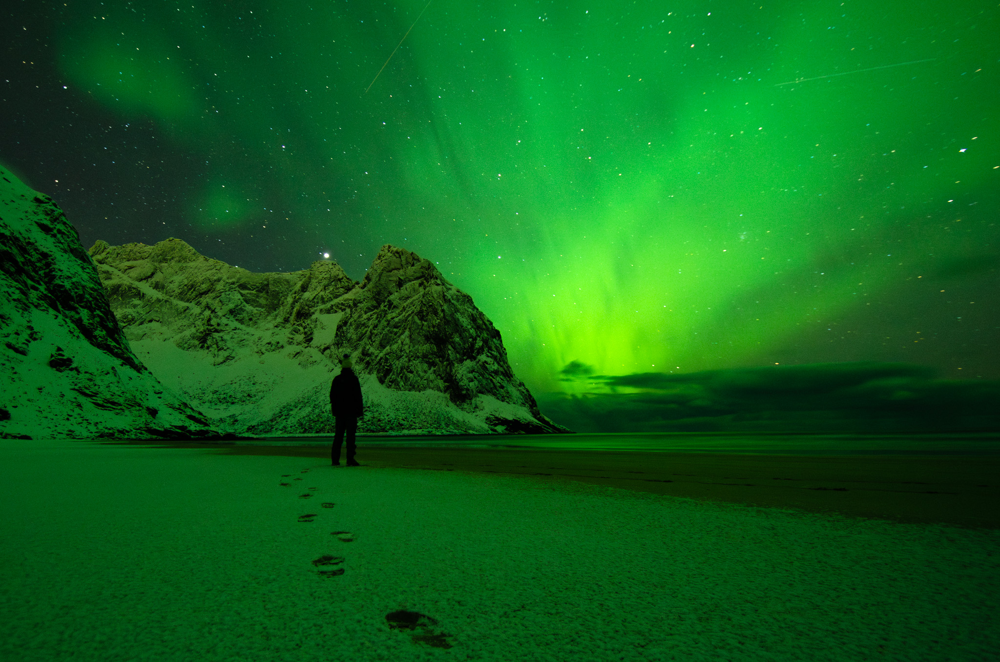
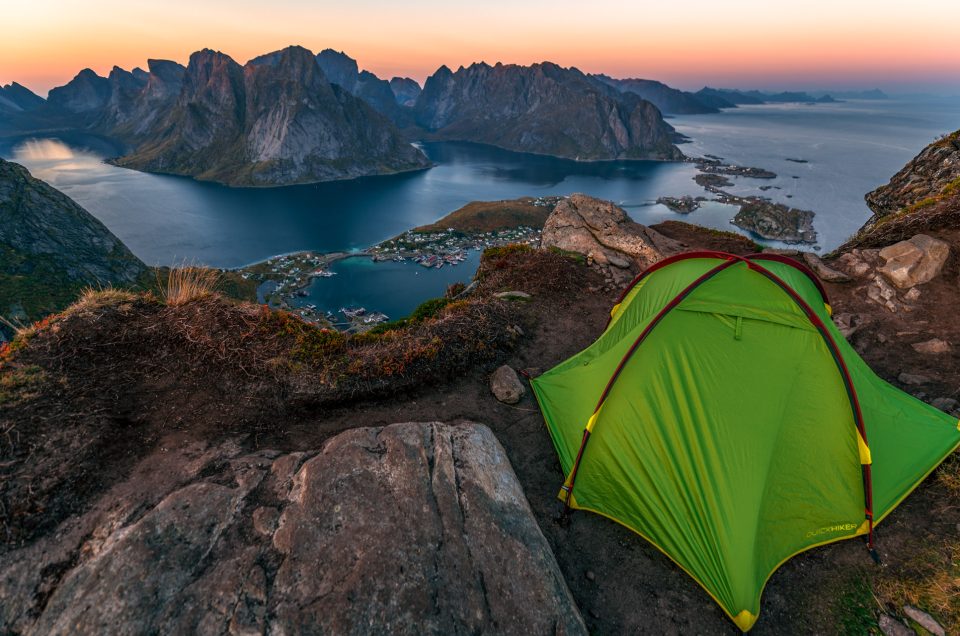
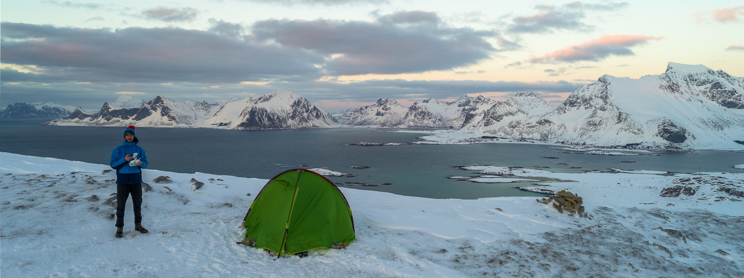
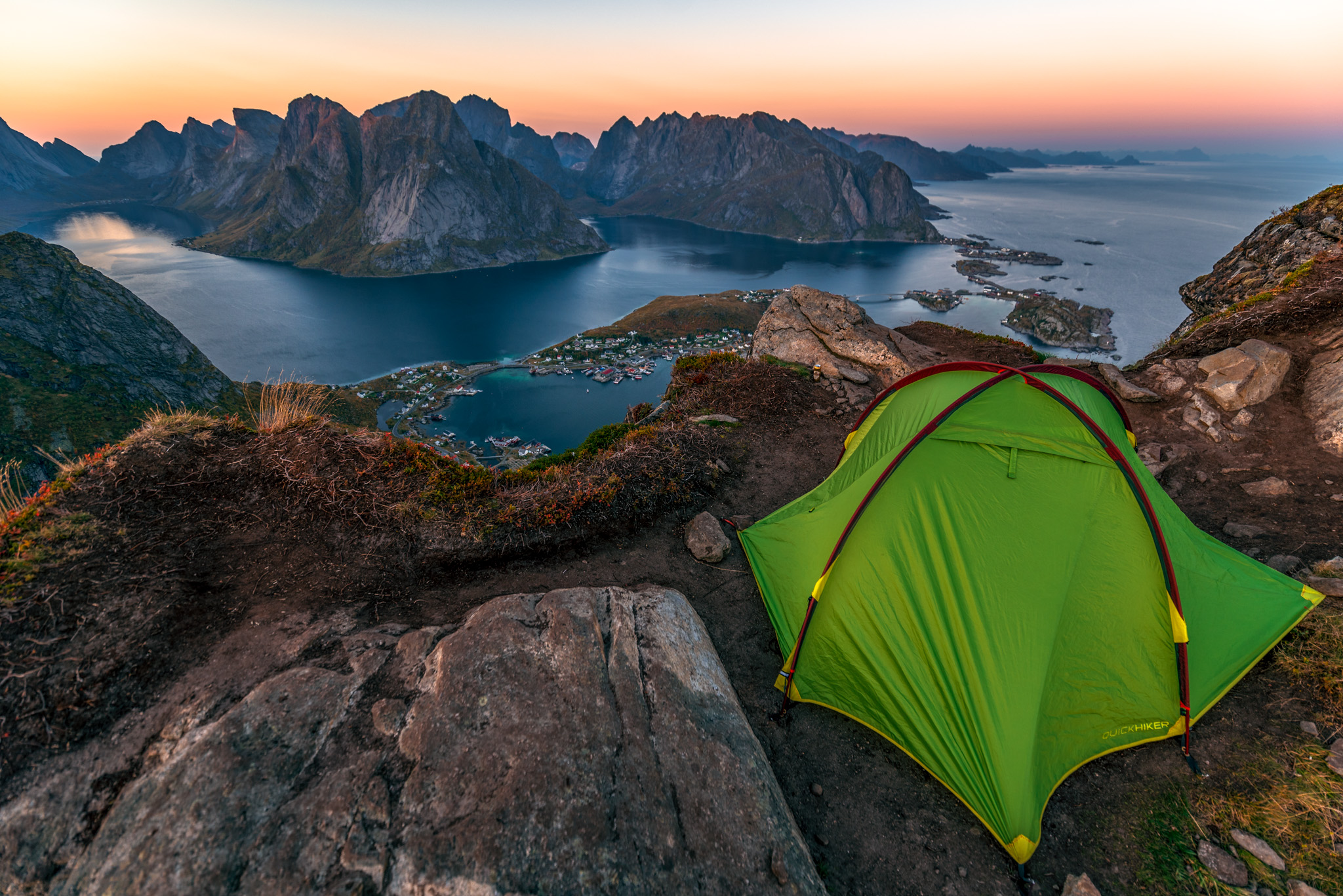
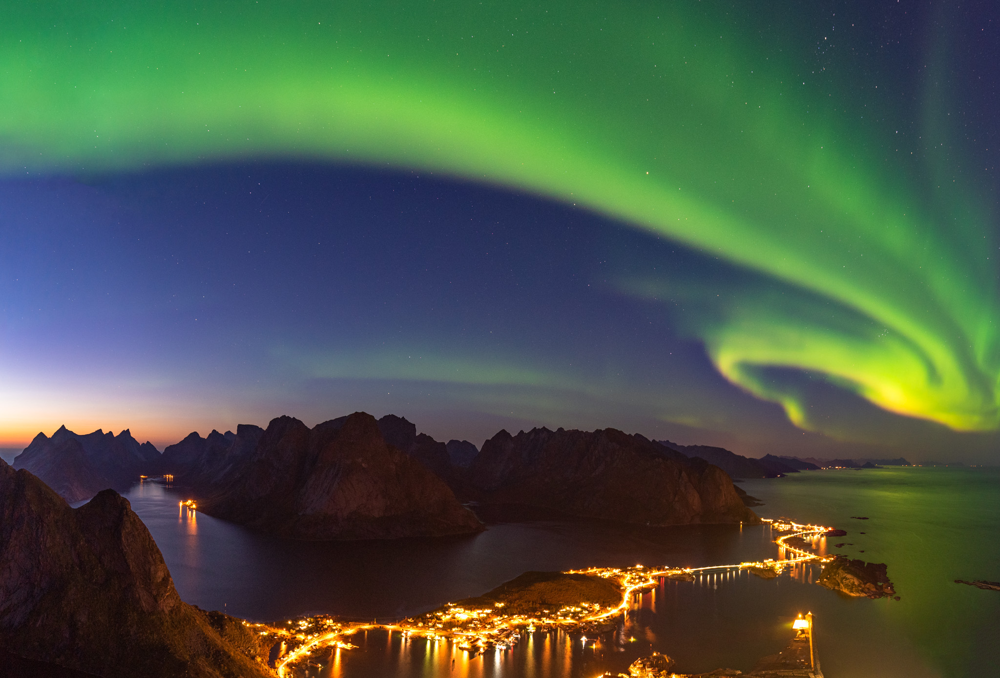
Let’s start with the most popular hike of the whole Lofoten. If you google pictures of Lofoten, you will likely see the view from Reinebringen first and I understand why. It’s wonderful! I visited the mountain in September 2017 and it was still allowed to tent on the top at that time. I will never forget the wonderful, sunrise, sunset and very strong northern lights during the night. It was one of my most powerful travel experiences of all time!
Secret tip: Most hikers visit just the first viewpoint on the way to Reinebringen, not the actual top. Climb 300 elevation meters more and you will likely be on the top on your own (see the map above). It’s worth going further than others. You can then continue down to Djupfjord and walk along the fjord back to the car.
Munken – my favourite viewpoint
Difficulty: Moderate
Short description of the ascent: Long hike with a bit steep final part
Parking: Sørvågen
Camping allowed: Yes but not everywhere. See restricted areas at Lofoten Friluftsråd website
Best accommodation nearby: The Tide - Rorbuer in Sørvågen
Starting point: parking lot at Sørvågen
Height of the peak: 770m
Distance to the top: 6.1 km (one way)
Time to ascend from Sørvågen to Munken: 4 hours 30 minutes (one way)
Elevation climbed: 843m (one way)
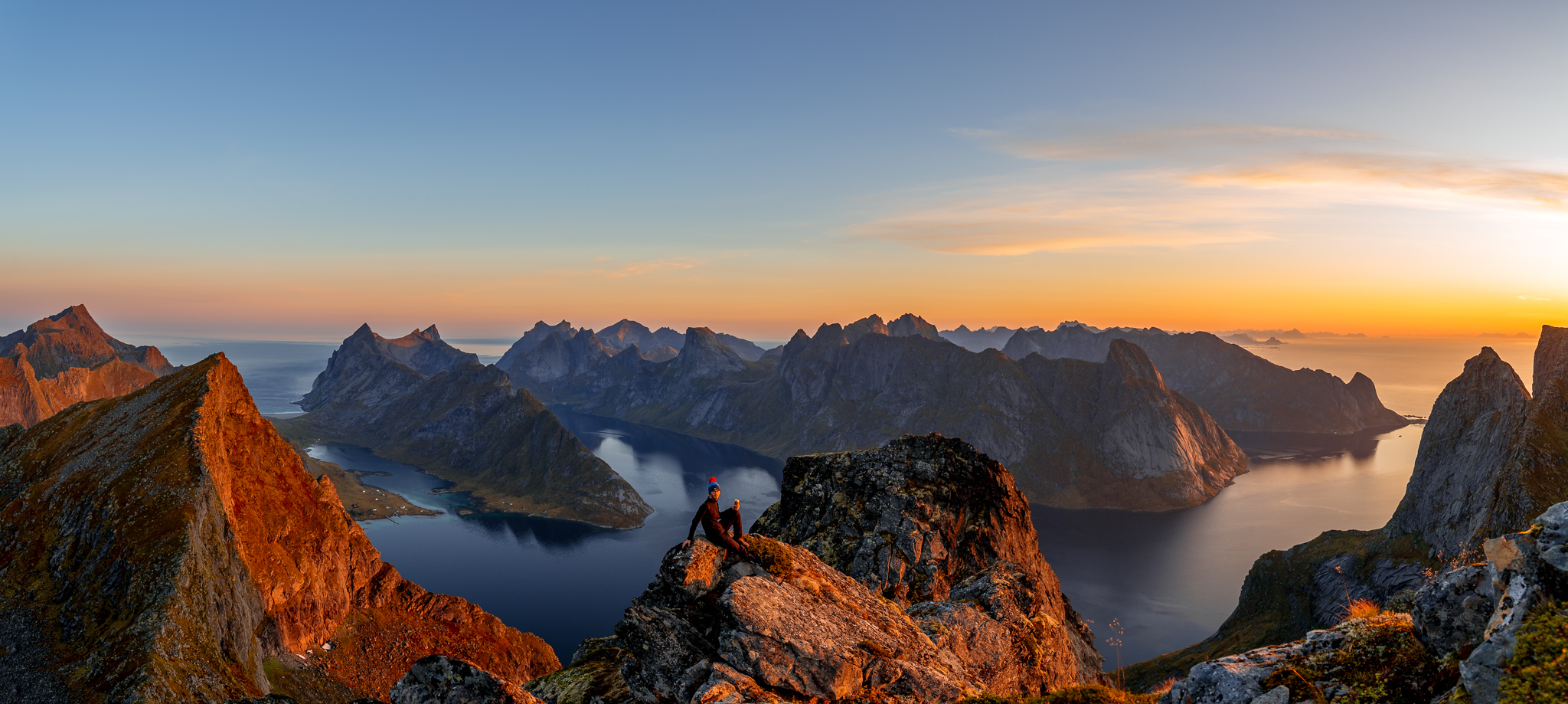
If you are at Lofoten islands during high season and want to avoid crowds on Reinebringen, you can consider my personal favourite mountain Munken instead. It’s less visited since the hike is longer but the mountain is higher and that’s why the view is even better! From Munken you can see the whole Reinefjorden, Forsfjorden and Kjerkfjorden! On the way, you will pass Munkebu hut where you can spend the night if you are a member of Norwegian Tourist Association DNT. It’s worth becoming a member if you are planning a longer trip in Norway. You can also tent on the way but check the possible locations on Lofoten Friluftsråd website in advance.
Hermannsdalstinden – the toughest hike in Lofoten islands
Difficulty: Very hard
Short description of the ascent: A long hike with very steep final part
Parking: Sørvågen
Camping allowed: Yes but not everywhere. See restricted areas at Lofoten Friluftsråd website
Best accommodation nearby: The Tide - Rorbuer in Sørvågen
Starting point: parking lot at Sørvågen
Height of the peak: 1029m
Distance to the top: 10km (one way)
Time to ascend from Sørvågen to Hermannsdalstinden: 8 hours (one way)
Elevation climbed: 1265m up and 420m down (Note: one way! The altitude data in the map below is incorrect)
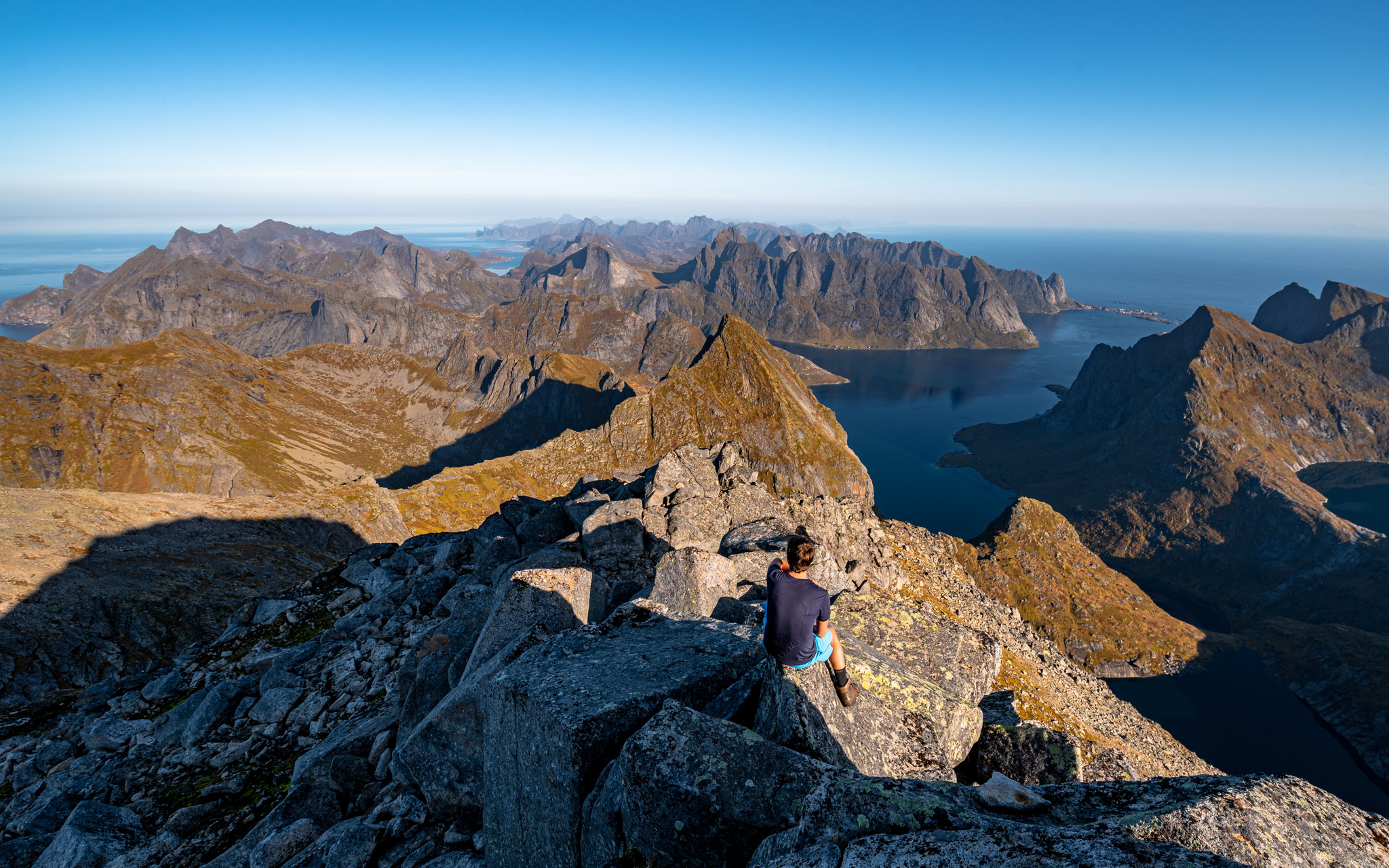
If you are looking for a bigger challenge, consider climbing the highest mountain of the most southern island of Lofoten Moskenesøya. Hermannsdalstinden is more remote than other popular mountains in the area so the hike is much more demanding. You will also have to scramble on the final hike since it becomes very steep in some parts. But the view is worth all the effort. The panoramic view is simply fantastic!
TIP: The hike is very long. It’s possible to do during one full day but it’s tough. I split this trip with my friends in two days:
- Day one – hike to Munkebu hut where we spent the night in a tent.
- Day two – climb to Hermannsdalstinden and descent to the starting point.
Kvalvika + Ryten – the most popular hike in Lofoten
Difficulty: Moderate
Short description of the ascent: The hike is relatively easy but the overall elevation is pretty high
Parking: Parking lot at Torsfjord (two options - see the beginning and end of the map)
Camping allowed: Yes, camping on Kvalvika beach is a wonderful experience
Best accommodation nearby: Heloíse`s accommodation in Fredvang is closest but if you have a car I recommend to stay at wonderful Reine/Sakrisøy
Starting point: parking lot Torsfjord
Height of the peak: 543m
Distance to the top: 7.8 km (whole round trip)
Time to ascend from Torsfjord via Kvalvika to Ryten and back: 4 hours
Elevation climbed: 855m
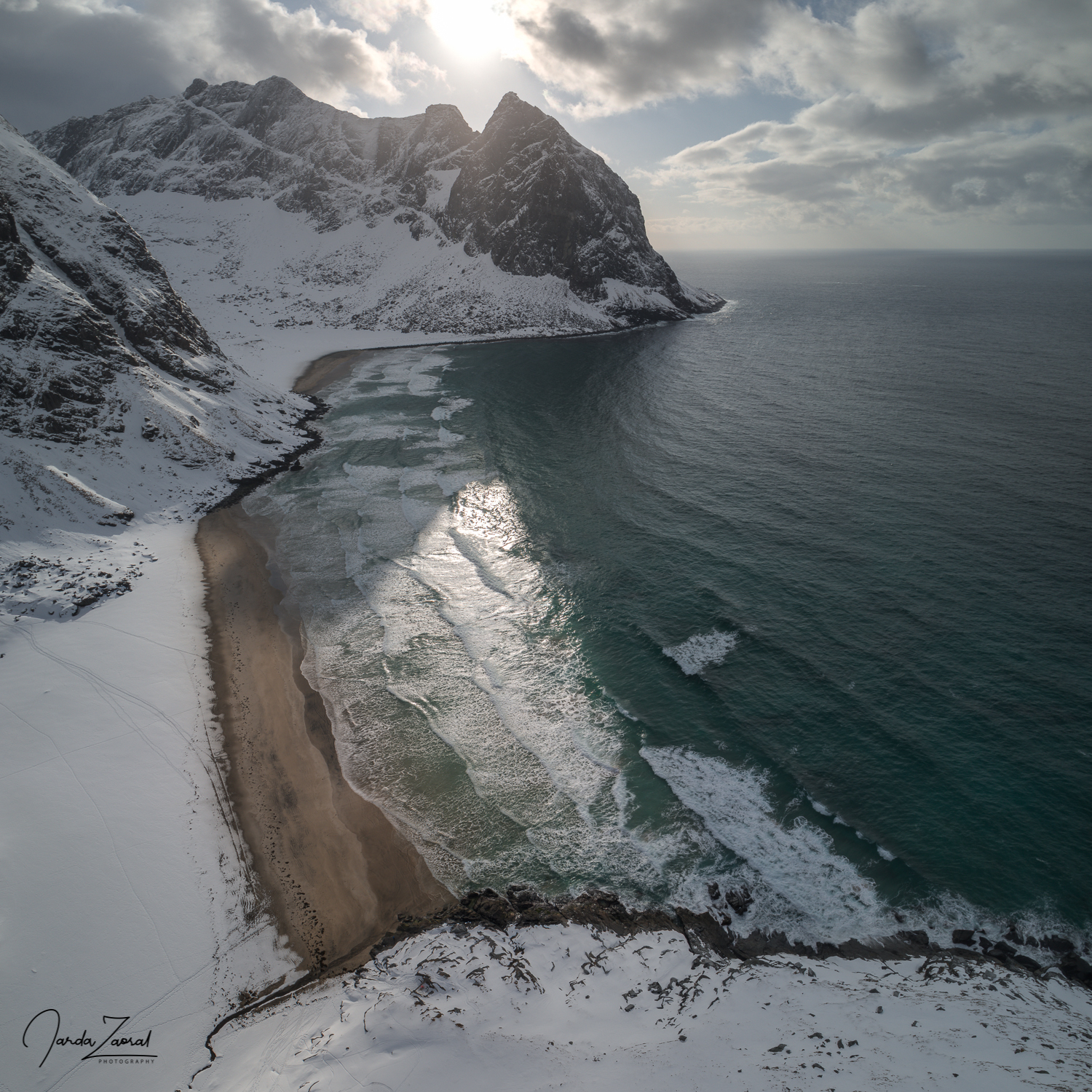
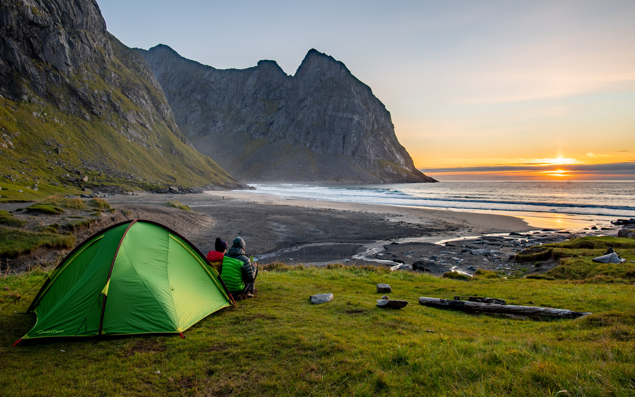
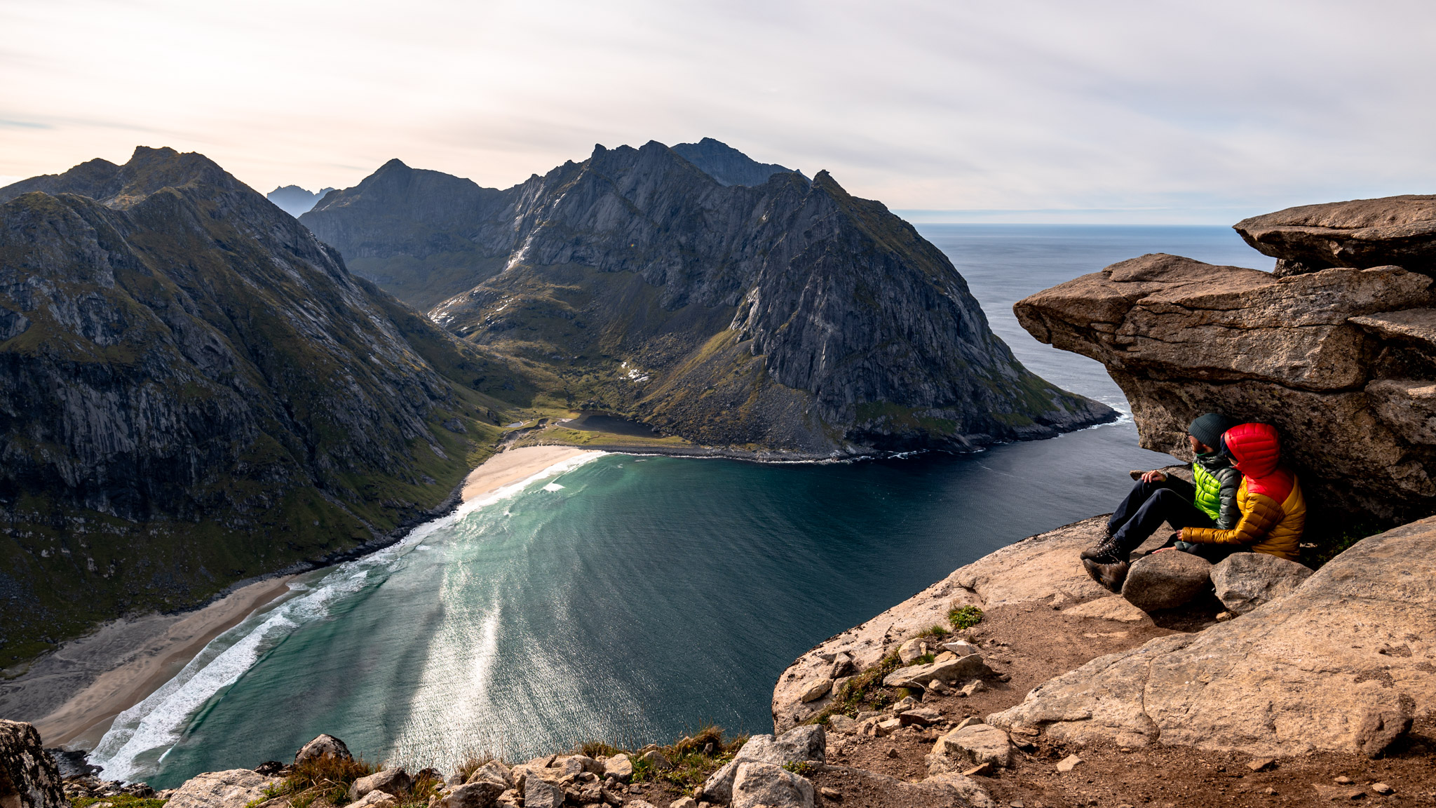
This is another very popular hike so I recommend choosing a time outside of the main season. It can be difficult to find a parking spot. This hike has has two highlights – the visit of wonderful Kvalvika beach and the beautiful view from mountain Ryten. If you have a tent, consider camping at Kvalvika. It offers perfect camping opportunities and you can also witness midnight sun from there.
Mulstøheia – hidden gem of Lofoten
Difficulty: Easy
Short description of the ascent: The hike is short and easy
Parking: Yttersand
Camping allowed: Yes, tenting on the mountain is wonderful
Best accommodation nearby: Heloíse`s accommodation in Fredvang is closest but if you have a car I recommend to stay at wonderful Reine/Sakrisøy
Starting point: Yttersand
Height of the peak: 295m
Distance to the top: 1.7 km (one way)
Time to ascend from Yttersandto Mulstøheia: 1 hour (one way)
Elevation climbed: 277m
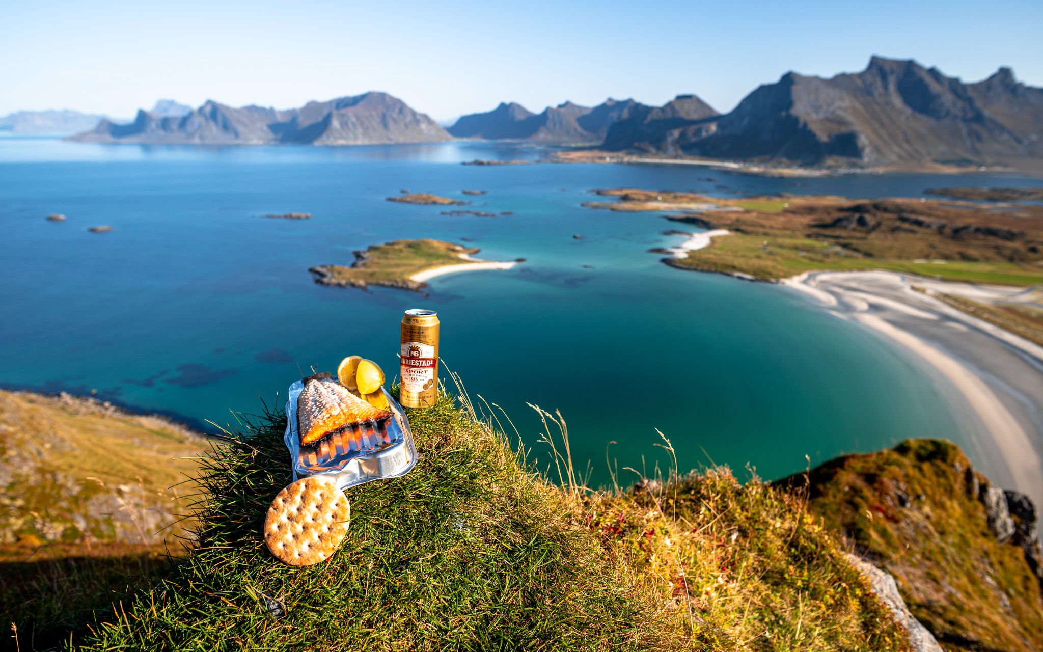
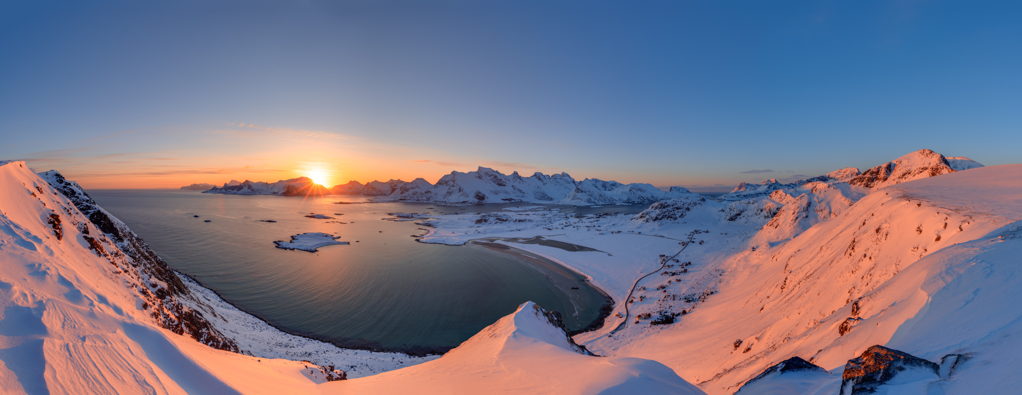
I visited the mountain Mulstøheia already four times because it’s very easy and quick to get to the top and the view is spectacular. I don’t understand why but it isn’t popular among tourists yet so you can often enjoy the views on your own. Highly recommended.
Hoven – easy hike to warm up before bigger adventures
Difficulty: Easy
Short description of the ascent: The hike is short and easy
Parking: Parking lot next to golf area
Camping allowed: Yes
Best accommodation nearby: Lofoten Links Lodges or Hov camping
Starting point: Parking lot next to golf area
Height of the peak: 367m
Distance to the top: 1.7 km (one way)
Time to ascend from parking lot to Hoven: 1 hour (one way)
Elevation climbed: 331m
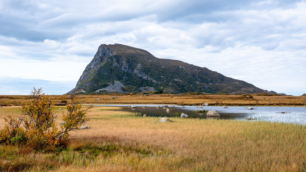
Don’t laugh at me but I climbed this mountain because the meaning of Hoven in my mother tongue Czech is “shit”. I was very curious how the view from “shit” will look like and I was very nicely surprised. It’s wonderful! Hoven is surprisingly far from any other Lofoten mountains and therefore you can see very far in all directions. Besides Lofoten islands can you also see Vesterålen.
Store Kongstinden – the best viewpoint of Svolvær
Difficulty: Easy
Short description of the ascent: The hike is short and easy
Parking: Parking lot next to Litl-Kongsvatnet
Camping allowed: Yes but not everywhere. See restricted areas at Lofoten Friluftsråd website
Best accommodation nearby: Anker Brygge or other options in Svolvaer
Starting point: Parking lot next to lake Litl-Kongsvatnet
Height of the peak: 552m
Distance to the top: 2.2 km (one way)
Time to ascend from parking lot to Store Kongstinden: 1 hour (one way)
Elevation climbed: 515m
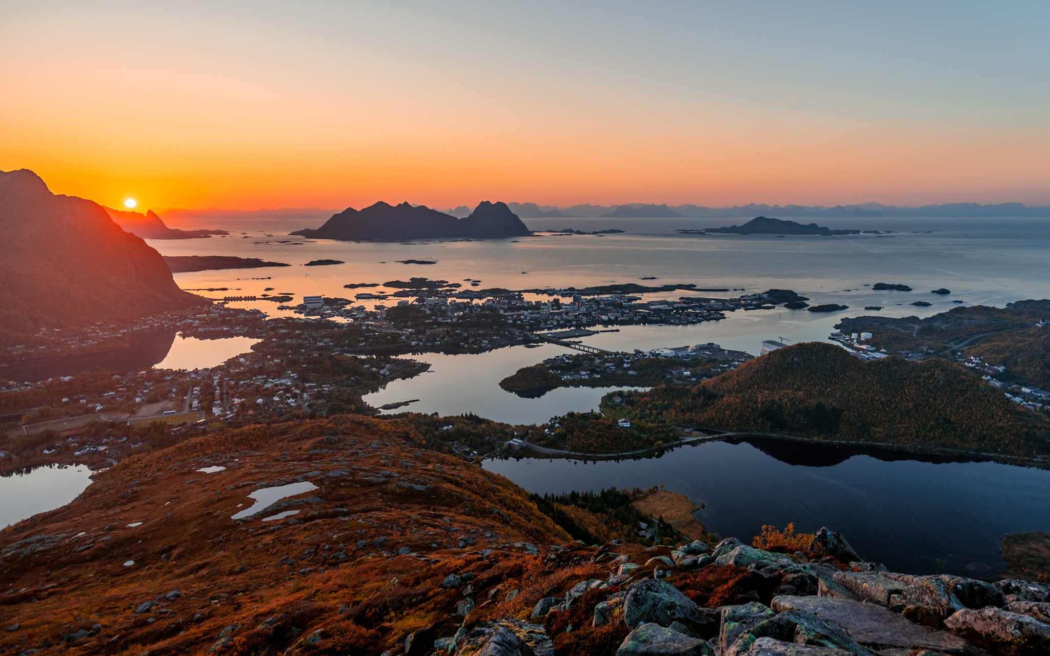
The largest city on Lofoten is called Svolvær and lies on island Austvågøya. The city is worth visiting for its cosy islands, typical local architecture and cute city centre but the best about the city is seeing it from mountains around. My favourite hike leads to mountain Store Kongstinden and from there you have a wonderful view over the city. In winter you can take a shortcut to the top by local ski lift. Have you ever seen a skiing centre with a better view before?
My extra tips for you: What you shouldn’t miss on Lofoten islands
Now you know my favourite hikes. Of course, there are more options and you probably won’t make a mistake if you choose another hike. Lofoten islands are beautiful everywhere. Unfortunately, you can’t really rely on good weather at Lofoten so it’s good to have some plan B besides hiking. Below you can find some more personal tips:
- The most tasty food at Lofoten: Anitas sjømat AS and their fish burger – I have tried many dishes in Norway but I have to admit I was often disappointed. Most of the dishes I had were overpriced and not worth the money. Anitas sjømat is an exception. Their food and especially fish and shrimps are amazing! This is a must when you visit Lofoten. I slept in nearby traditional houses – Rorbuer at Sakrisøy and it was an fastastic experience and it was my every day lunch. What a holiday I had there!
- The best beaches to visit at Lofoten: Besides the remote beach which I recommended in the article before (Kvalvika), I also highly recommend the beach Unstad which is famous for its surfing conditions. You can marvel at amazing surfers there making tricks in the freezing water or you can try it too. There is a surfing rental shop. You can find one more surfing beach nearby village Flakstad and I also recommend visiting the wonderful sandy beaches at the villages Ramberg and Utakleiv. Btw, all of these beaches are facing the north, so they offer perfect view of midnight sun and northern lights when it actually gets dark.
- The best sauna: I skipped one sandy beach on purpose in the point before because there is one more reason to come there. On a beach in village Hov under mountain Hoven, you can find a beautiful sandy beach with… a sauna. Jumping into the freezing water after sweating inside is another must experience from Lofoten.
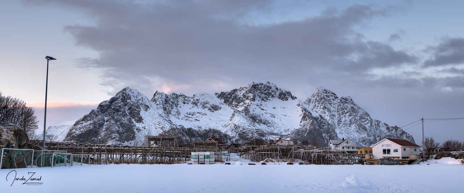
- The most cosy villages: There are many wonderful villages at Lofoten islands. Here are my favourite ones: Reine and Sakrisøy on the most southern island Moskenesøya, Ramberg and Vikten on Flakstadøya and Henningsvær and Svolvær on Austvågøya.
- If you want to take a break from hiking, take a beautiful Lofoten cruise from Svolvaer to the most beautiful fjord of Lofoten – Trollfjord.
- Would you like to see northern lights and you don’t know how? Read my northern lights guide with tips or book a guided tour at Svolvaer with local professionals.
Are you looking for more hiking tips? Check out my tips from other countries too. Here is a list of my hiking articles.
