Last Updated on May 22, 2024
Reaching Mulhacén isn’t an easy task. Even though there is no technical climbing on the way, count on a long distance as well as potential problems with the high elevation. Acclimatization is necessary. I myself was very surprised how long and tough the hike was. Follow this article for all necessary information before your visit including my personal experience. You will also find out why I felt like I was both on the Moon and Mars. If you are looking for a mountain guide, I will give tips too.
What is the highest point of Spain?
DISPUTE: Before I describe my ascent to the mountain Mulhacén, I must first explain the issue of Spain’s highest point. I was standing in front of a big dilemma. Should I climb Pico del Teide on the Canary Islands or Mulhacén in Sierra Nevada in the south of Spain? The goal of my expedition European Peaks was to ascend the highest mountain of every European country, but at the same time mountains that are a part of Europe. Since the Canary Islands belong geographically to Africa and since the area is an autonomous territory I decided to climb Mulhacén, although this mountain is lower than Teide.
Important information for climbing Mulhacén
Short description of the ascent from Hoya de la Mora: Very long hike with potential snow/ice fields on the way
Essential equipment: General hiking gear and crampons if it's icy - check conditions ahead!
Best time to visit: June - October
Fees or restrictions: No but guides recommended if you don't have experience with high altitude
Camping allowed: Yes
Nearest accommodation/food supply: Hoya de la Mora and recommended accommodation Inside Plaza Sierra Nevada
Height of the peak: 3,479 m
Hiking distance: 13,9 km (one way)
Time to ascend and descend: 4-7 hours up, 3-5 hours down
Elevation to climb: 1340 m up, 387 m down (one way)
Water availability on the mountain: No water on the way, bring enough supplies
Difficulty level: *** (6 stars maximum)
Personal rating of the mountain: *** (6 stars maximum)
Beer on the peak: Wasteland Wheatwine ** (6 stars maximum)
What is the most popular route to Mulhacén?
The most common route to Mulhacén starts at Hoya de la Mora. From there, it follows a ski slope to Pico del Veleta which is the second highest mountain of the Sierra Nevada mountain range. It’s also possible to take a shortcut to this point by a cable car.
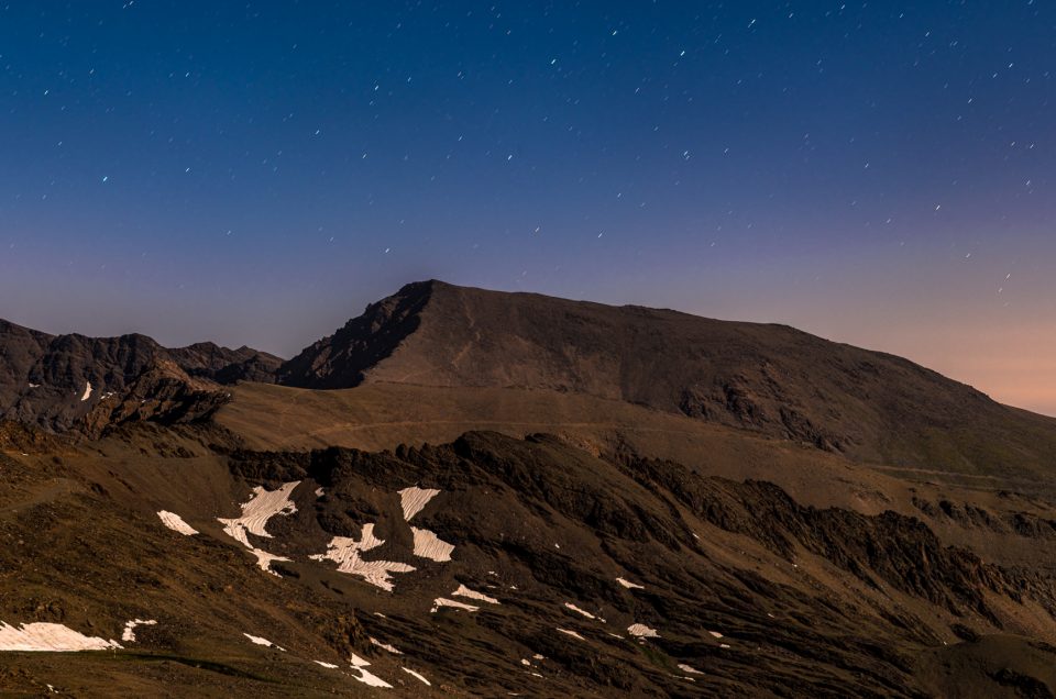
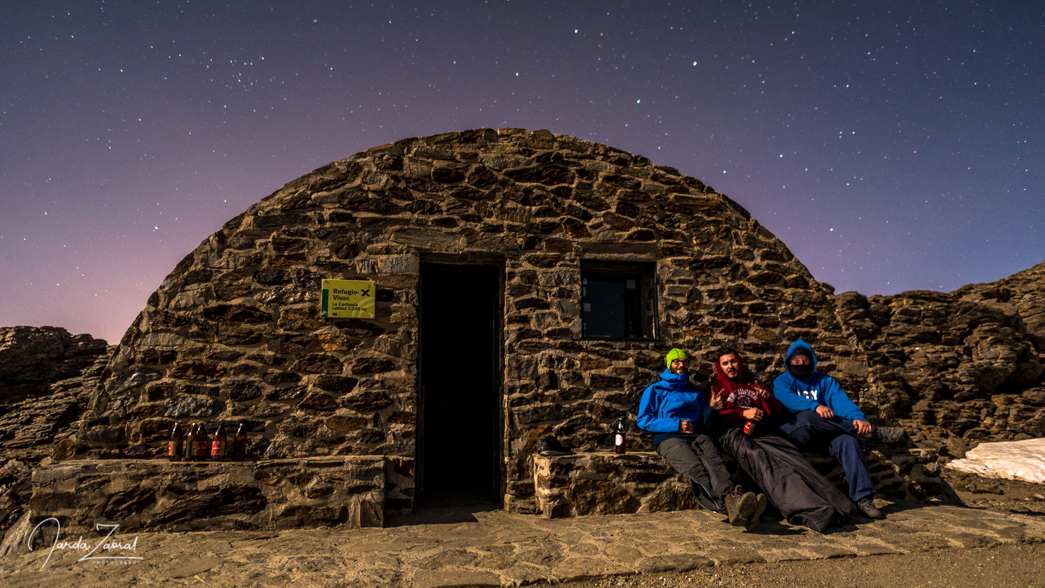
Nearby Pico del Veleta you can find a cute refugio Vivac de la Carihuela. I used it to split the hike in two days and I highly recommend it to you too. It was an amazing spot to watch the night sky. The next day, the route goes down a bit and then continues around the small lake Laguna de la Caldera and at the end goes steeply up to Pico de Mulhacén.
Be aware that hiking to Mulhacén is at very high elevation and acclimatization is recommended. If you don’t have many experiences with high mountains, I recommend a local guide.
Map of the climb of Mulhacén from Hoya de la Mora
My story of climbing the highest mountain of Spain – Mulhacén
I climbed Mulhacén as a part of my project European Peaks during which I climbed the highest peak of every European country. My journey to Mulhacén started in Salamanca, where I returned my car on the road from Portugal. After the excellent Spanish motorways, I was impressed by another mode of transport. I had to get from the very northwest of Spain to Málaga in the southeast across the whole country. The journey was over 700 km but thanks to the Spanish high-speed rail the journey took only 5 hours and 20 minutes, including two transfers. Simply amazing. Can we build trains like this across the whole Europe, please?
Surprisingly cold Spain
After a busy day when I got up at sunrise in Portugal, drove halfway through Portugal by car and still got to the south of Spain by train in the evening, I decided to relax for two days on the beach in Málaga. I did not choose the best destination because the beach in the city was dirty. In addition, I found out that I arrived to Málaga during the coldest summer in the last few decades. When I went to the beach, I didn’t even go for a swim because it felt cold and dirty. I rather stayed in my sweater.
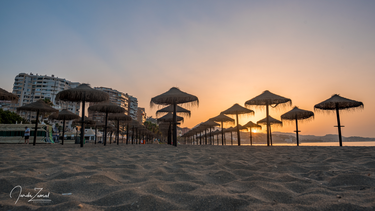
Instead of bathing, I chose to relax by consuming Spanish delicacies. For breakfast, I tasted churros with chocolate, a Spanish omelet for lunch, and a luxurious Spanish serrano ham for dinner. My gastronomic day ended up by visiting three bars serving the best sangria in town, tinto de verrano and a local dry cider. A good way to load energy for the next mountain.
But I’m not a food blogger, so let’s focus on what followed. I borrowed a car and headed to my 18th peak. The starting point of the hike is not far from Málaga. In 1.5 hours I arrived to the ski resort Pradollano in the Sierra Nevada mountains. I parked the car in Hoya de la Mora, the best spot to start.
Spend a night at Bivouac Carihuela
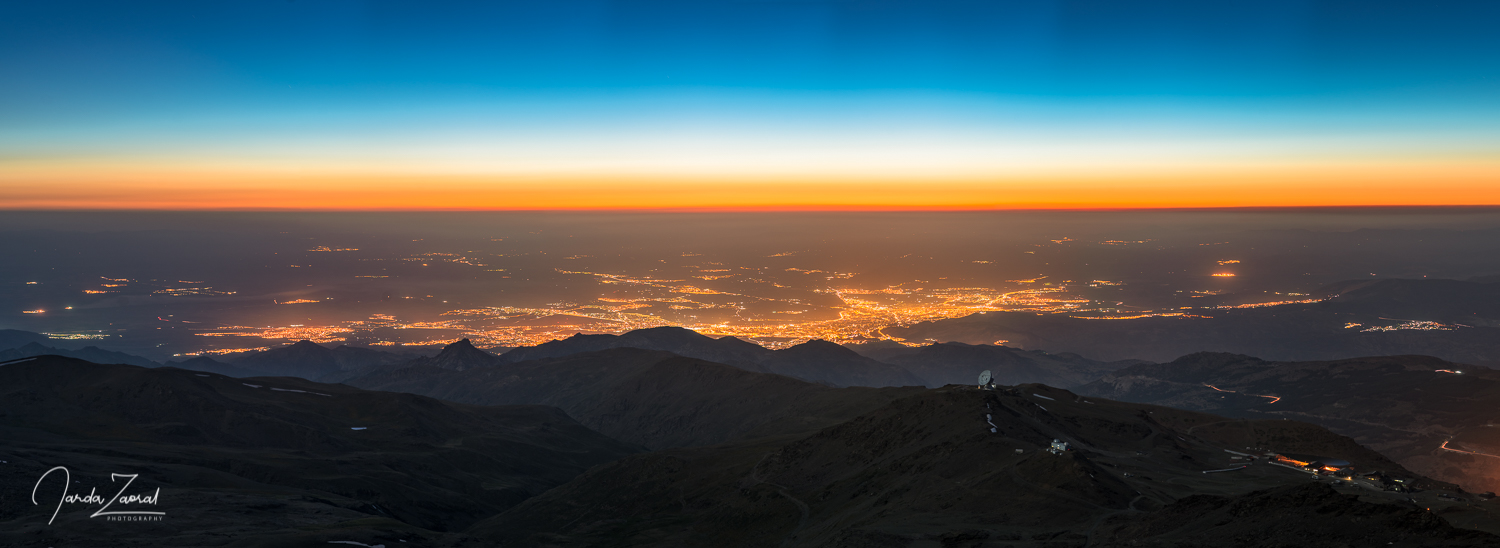
The first part of the trail runs right next to the ski lifts and ski slopes. It leads to Spain’s second highest mountain, called Pico Veleta. My goal was to sleep nearby this mountain in a smaller shelter called Bivouac Carihuela and go to the top of Mulhacén early in the morning. Unfortunately, I did not completely properly estimate the length of the initial hike. From the parking lot I thought I’d be up in an hour but it took much longer so I arrived after dark. It’s a shame because the sunset was amazing. The red sun together with the reddish-tinted soil created an amazing spectacle. I felt like I was on Mars. What a pity I did not use my camera and decided to get to the cottage as quickly as possible instead. Now, I have to come back one day just because of this Mars picture!
Fiesta or siesta?
When I reached the refuge, I was surprised. Everyone was asleep. What happened to the famous Spanish fiesta? Did the Spaniards get tired of the hike so that they fell asleep at 10 pm? However, when I started to unpack my sleeping bag to sleep, two younger tourists Alejandro and Pablo got up and asked me: “We can’t sleep. Do you wanna join us for a few beers?” I was not really tired so I nodded.
It showed up that they were having a big headache, probably due to high-altitude illness. It’s not a surprise. Pico del Veleta is 3,398 m high. Based on my previous experience I recommended them: “If you feel a big headache you should actually descent down a few hundred meters. You can sleep in another shelter close to the starting point of the hike. You will feel better.” However, the Spanish teenagers didn’t listen and came up with their own solution. They opened their beers and started to smoke. Neither did they refuse my plum brandy. After a while, they surprisingly told me they feel much better and after our little party they slept like babies (not the crying ones).
Hiking on the moon
I didn’t take the fiesta so seriously so I was able to get up at 4:30 in the morning. Unfortunately, my new friends weren’t able to do that. Their excitement to join me disappeared somehow. According to the map, it looked like the top is just two hours far so I didn’t spend much time having breakfast and decided to go. Shining stars were leading me to Mulhacén.
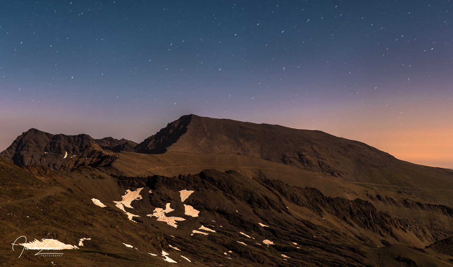
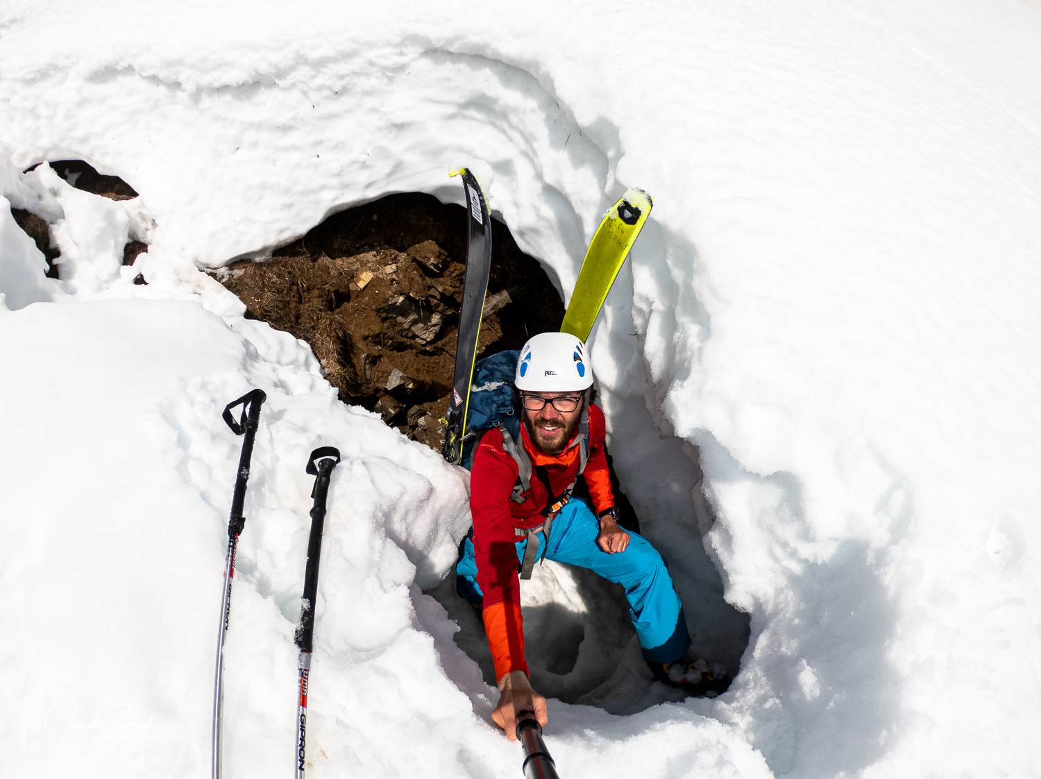
I was surprised by the large amount of snow on the way. Arguably, the last winter was as strong as this summer was weak in Spain (this was later confirmed by a local mountain guide. There was much more snow during this time of the year than usually). I would actually be happy having crampons with me when crossing some snow parts. Who would have expected that?
The road wasn’t interesting and Mulhacén was still far away. I actually felt like I was on the moon this time. A large black inhospitable environment with no vegetation. If you walk on your own in such an environment and in darkness it is difficult to find motivation to go fast. I was slow and due to my low speed I came late to the top, one hour after the sunrise.
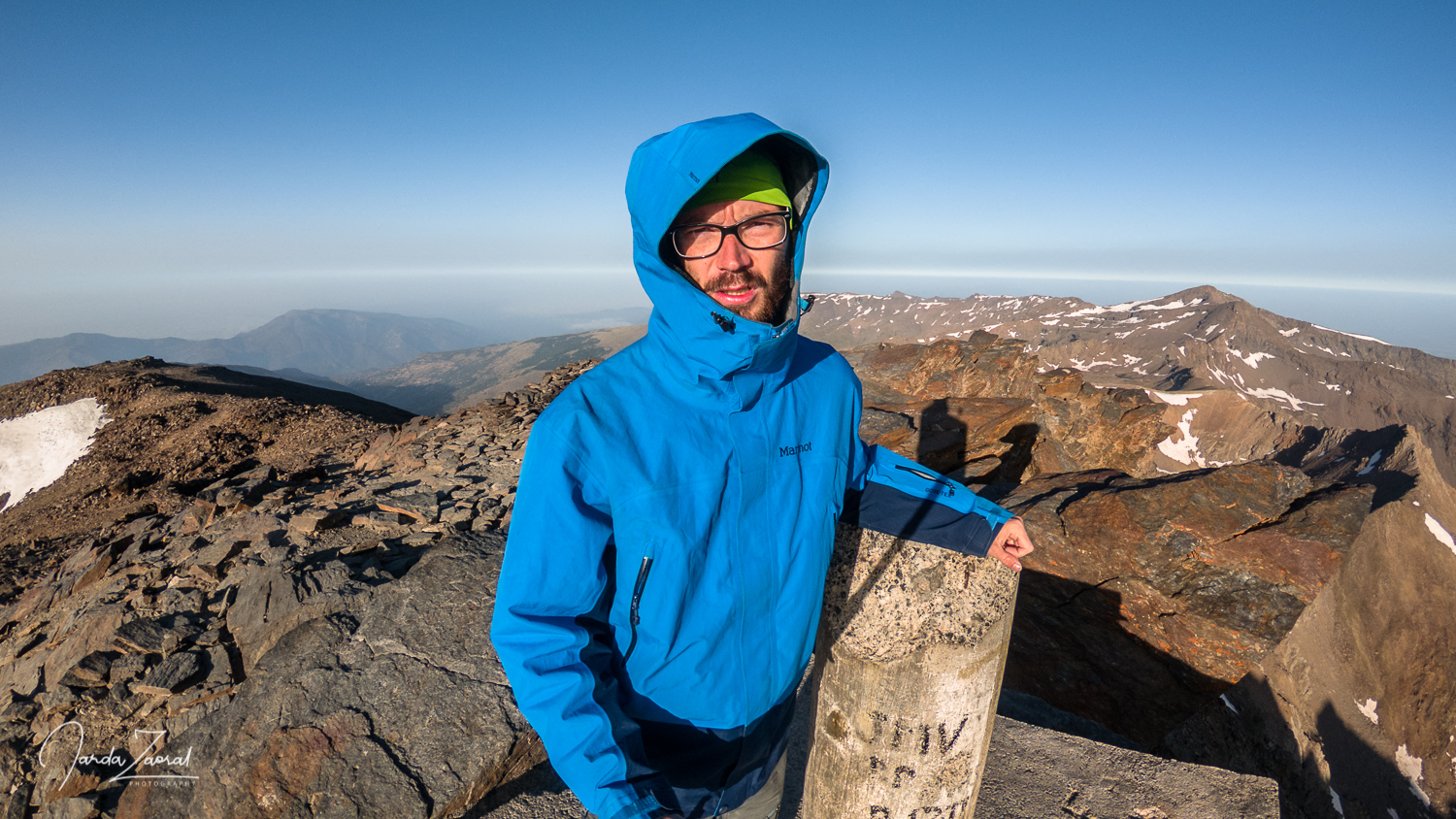
Freezing on top of Mulhacén
I spent only a short time on the peak. It was really cold. It became the coldest mountain I visited on my trip so far. Even the famous hot Spanish sun didn’t warm me up. After a classic half-hour photo shoot I headed back to the car. The journey back seemed to be even longer, but I was in no hurry. I stopped several times on the way and enjoyed the awakening nature. When I reached the shelter Pablo and Alejandro were still sleeping.
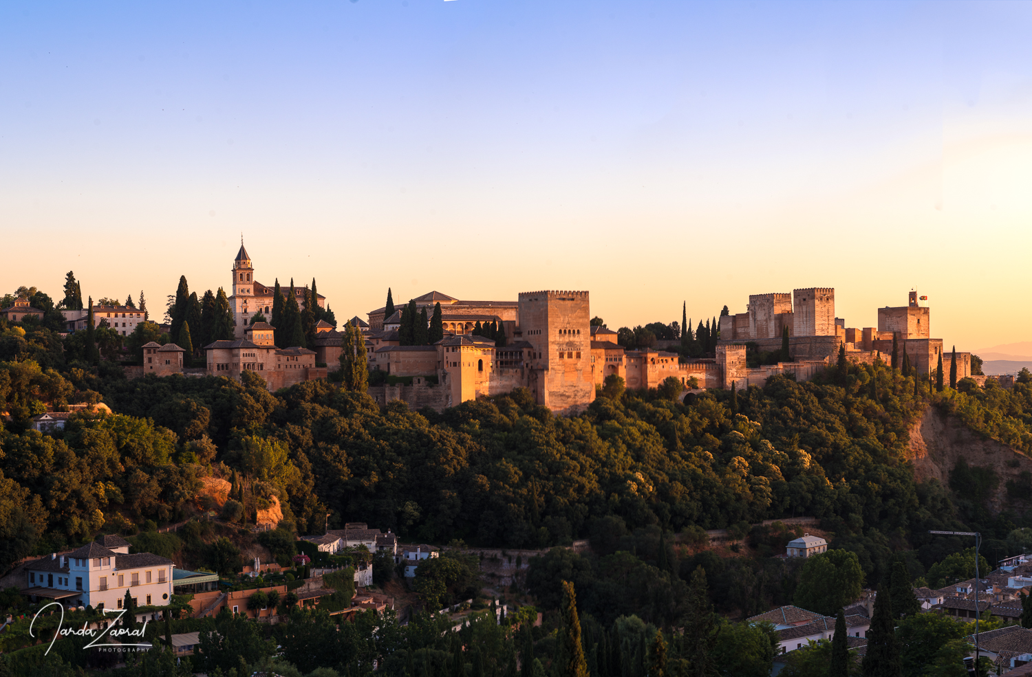
I planned a few extra days for Spain because I had never been to Andalusia before. I stayed a day in Granada where I was mostly amazed by local tapas which I got always for free when I ordered a drink. All in all I paid 6 euros for three drinks and I got amazing food along with my order. This kind of service could work everywhere. I had also a perfect view over Alhambra from my accommodation.
Famous hike at Caminito del Rey
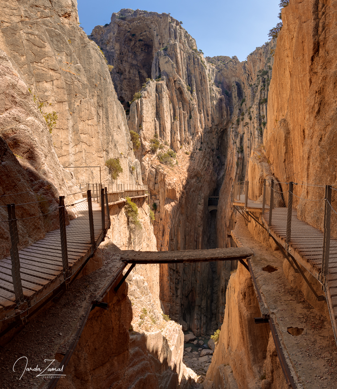
One day later, I decided to check the famous most dangerous trail in the world – Caminito del Rey. The walkway is built height 100m above a deep canyon. Previously, the trail was opened only for adrenaline sportsmen who could use via ferrata. However, after several accidents it was closed and today there is a safe path for all tourists. I was a bit disappointed how touristic this trail is but it was still worth to see. An amazing canyon.
The last place which I visited was the city of Ronda. It lies on two cliffs linked by a famous stone bridge and I liked it a lot because there were a lot less tourists. Then I just continued back to the airport in Málaga to fly for the next peak.
I thought I will have time for swimming before my flight. However, I was late with car return so I had to skip it. Therefore, I think I became the first tourist who came to Spain for a week and didn’t go for a swim.
My tips for the mountain Mulhacén:
- I recommend to split the hike in two days, with an overnight stay at the shelter Bivouac Carihuela which lies very close to Pico del Veleta, the second highest point of continental Spain.
- If you feel altitude sickness, descend down and try the summit one day later.
- Don’t summit this peak on your own. The hike is very long and some tricky snow crossings can be found on the way.
- Enjoy being in the universe. If you manage to see sunrise/sunset you will feel like you are on Mars. If you walk at night in the mountains you will feel like you are on the moon.
- To start the hike without stress, I recommend nearby accommodation at Hoya de la Mora Inside Plaza Sierra Nevada
Disclosure: Please note that some of the links above may be affiliate links, and I earn a small commission at no additional cost to you, if you make a purchase. I recommend only products and services of companies I use and the income goes to keeping the website running.
